


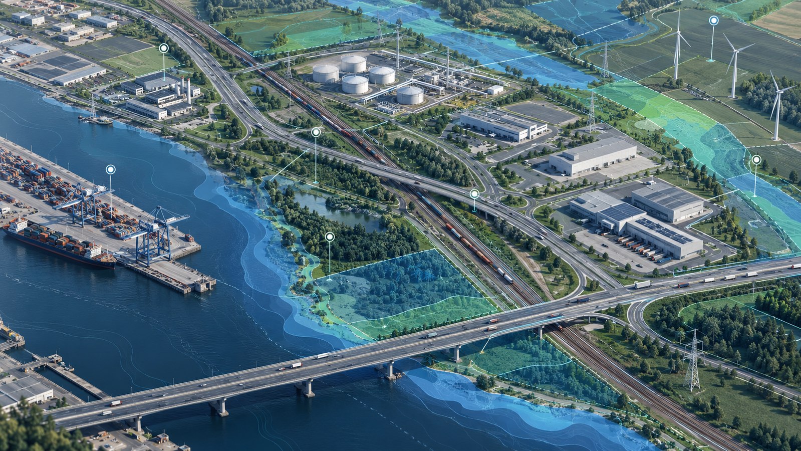
GIS solutions for collecting, visualising and analysing spatial data. Equipment information and map-based asset visualisation help operators monitor facilities and processes in real time.
GIS solutions for collecting, visualising and analysing spatial data. Customers can view relevant assets and processes on a map in real time, according to their needs.
We combine equipment data and map-based asset visualisation in a geographic information system, helping operators assess the situation on a map and make decisions.
Discuss your project
Send your enquiry to